 Although the cold air that has been moving in aloft these days may have its down sides for gardening and some outdoor activities, there IS a silver lining to the situation....very nice cumulus and cumulonimbus clouds for viewing (an example shown above from the Puget Sound Clean Air Agency "Visibility Cam."
Believe it or not, the sun is actually getting fairly strong (the sun's strength today was the same as late August!!!), so the surface is getting quite a bit of solar radiation when the sky opens up. And the day is quite long now (like late August!).
Now the result of cold air aloft, but warming at the surface is that a large difference in temperature develops with height. In the business, we call that a large temperature lapse rate.
So why do we care about this? Well, when the lapse rate gets large enough the atmosphere can get unstable and it starts to convect. This is exactly what happens when you make hot cereal by the way (and if you don't eat hot cereal, you should, it is good for you). You put the a saucepan on the burner and when the vertical lapse rate because large enough the cereal starts to convect....some moving up and some moving down. Add some brown sugar...
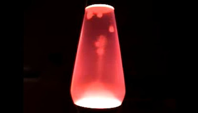
Or you can see convection take place in a Lava Lamp--which those growing up in the 60s and 70s will remember well. Heating the lower portion causes colorful blobs to rise and then fall. Here is a video of one for the younger crowd:
 People frequently ingested illicit substances while watching such displays, but meteorologists have no need for such aids--the convection is more than enough.
On these cool spring days you can watch the atmosphere go unstable--either by keeping your eyes on the clouds or by viewing one of the many cam videos--
My department has a good one:
http://www.atmos.washington.edu/~ovens/loops/flash2.cgi?/images/webcam2/movies/20110417.swf
By the way, spring is typically the most unstable time of the year around here. The atmosphere takes time to warm up and spring often brings some of the coldest temperatures aloft, while the strengthening sun causes the surface to warm up more quickly.
So put on a warm sweater and enjoy the convection...it is a great show, with some of the cauliflower-shaped cumulonimbus rising several miles into the sky.
Finally, let me note that the big local meteorological gathering of the year will occur on May 13-14th...the NORTHWEST WEATHER WORKSHOP. Meteorologists from throughout the Northwest gather to talk about the latest in our regional weather and layfolk (like most of you) are very welcome. Topics will include everything from radioactivity from Japan and the latest on the new radar and local modeling, to a panel discussion of the use of social media to communicate weather information.
The web site for the meeting, which included the agenda, is found at
http://www.atmos.washington.edu/pnww/
You can register for the meeting and/or the Friday-night banquet if you are interested.
No comments:
Post a Comment