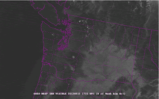
Both satellite imagery and visible reports have shown something that is relatively unusual---smoke form eastern Washington fires spreading westward over western WA. Here is a sequence of visible satellite images showing this, followed by a high res MODIS satellite image...really obvious:
The strong easterly flow was seen in the winds measured by the Sand Point profiler over N. Seattle:
Among the reports was one from a glider pilot east of Lake Sammamish (Bruce Williams), who took an amazing picture from the air showing the smoke:


No comments:
Post a Comment